Molas Pass to Molas Lake: Colorado Trail Day Hike
The Colorado Trail runs 486 miles from Denver to Durango, and one of its most spectacular segments is right in our backyard. The section starting from Molas Pass on US-550 is high-alpine perfection , wildflowers, mountain lakes, and views that make you forget everything else. Within the first mile, you'll understand why people hike all 486 miles just to experience this stretch.
The Hike
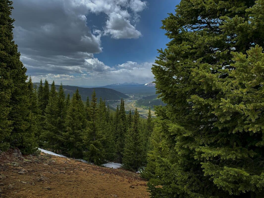
Park at Molas Pass (10,600 feet elevation) on US-550, about 45 minutes north of Durango and 20 minutes south of Silverton. The trailhead is well-marked and has a large parking area, though it fills up on summer weekends. The Colorado Trail heads south from the pass through rolling alpine meadows with panoramic views of the Grenadier Range and Needle Mountains.
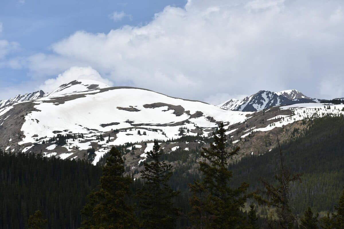
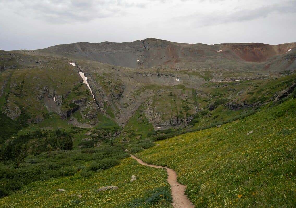
The terrain is high alpine , open tundra, wildflower meadows, rocky outcrops, and scattered krummholz (stunted alpine trees). You're above treeline for much of this section, which means exposure to sun, wind, and weather. The views are unobstructed in every direction. Engineer Mountain (13,218 feet) towers to the northwest. The jagged Needles and Grenadiers dominate the southern horizon.
This is the kind of landscape that defines Colorado , big, open, and humbling. No buildings, no roads (once you're a half-mile in), just mountains and sky.
How Far to Go
That's up to you and your fitness. There's no single "turn around here" point , the trail continues for miles with consistently stunning scenery. A three-mile out-and-back (1.5 miles each way) gives you the highlights , open meadows, wildflowers (peak in late July), and big mountain views. This is enough for casual hikers or families with kids.
Push to six miles round trip (three miles out) and you'll reach some high-country lakes and more varied terrain. Serious hikers can go eight to ten miles round trip and still have energy to get back. The trail is relatively gentle , no massive climbs , but the altitude will slow you down if you're not acclimated.
If you're ambitious and have all day, the next major landmark is the descent toward Elk Creek, but that's a 12+ mile round trip and requires more planning.
What to Expect
Altitude: You're starting at 10,600 feet and staying at or above that elevation. If you're coming from sea level, you will feel it. Start slow, take breaks, and drink more water than you think you need. Altitude sickness is real , headache, nausea, fatigue , and it's no fun.
Weather: The trail is mostly above treeline, which means full sun exposure and little shelter from wind or storms. Bring sun protection , hat, sunglasses, sunscreen. Also bring rain gear. Afternoon thunderstorms are common in July and August, and you don't want to be exposed on a ridge when lightning rolls in.
Water: Bring plenty. There are streams and snowmelt sources along the trail, but they're not consistent. Plan for at least 1.5 liters per person for a moderate hike, more if it's hot.
Wildlife: This is prime high-country habitat. You might see marmots, pikas, elk, and mule deer. Black bears are present but less common at this elevation. Make noise on blind corners and store food properly if you're stopping for lunch.
When to Go
Peak season: July and August. Wildflowers peak in mid-to-late July, turning the meadows into carpets of color , Indian paintbrush, columbine, lupine, alpine sunflowers. This is when the trail is most spectacular and most crowded.
Start early: Aim to be on the trail by 8 AM. This gives you cooler morning temps, softer light for photos, and time to hike out before afternoon thunderstorms roll in. Lightning above treeline is serious , if you see storm clouds building, turn around. Don't push it.
Parking: The Molas Pass trailhead parking lot can fill by mid-morning on summer weekends. Early arrival solves this. If the lot is full, there's limited roadside parking, but be careful , US-550 is a busy mountain highway with narrow shoulders.
Gear Recommendations
Footwear: Hiking boots or sturdy trail runners with good tread. The trail can be rocky and uneven.
Layers: Even in July, mornings at 10,600 feet are cold. Bring a light jacket or fleece. You'll shed layers as you warm up, but you'll want them at the start and on breaks.
Trekking poles: Optional but helpful, especially for stability on uneven terrain.
Snacks and lunch: Bring food. There are no services at Molas Pass. Pack calorie-dense snacks , the altitude and exertion will burn energy fast.
If you need gear, Pine Needle Mountaineering in Durango has everything you need and staff who know the local trails. Backcountry Experience is another solid option with a huge selection.
The Views
I won't oversell it because the views do that themselves. The Grenadier Range, the Needle Mountains, and rolling alpine meadows stretching to the horizon. Molas Lake visible below the pass. The rugged spine of the San Juans in every direction. This is why people come to Colorado. This is what you show someone when they ask what makes the mountains worth it.
For more hiking near Durango, check out our guides to Animas Mountain and family-friendly bike trails.
Both of our Purgatory townhomes , Basecamp and Timberline , are a great base for summer hiking. About 30 minutes from Molas Pass and 25 minutes from Durango, you're perfectly positioned to explore the high country and the town without spending your whole trip driving.